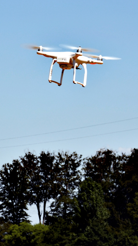
The research project “fAIRport” seeks to automatically define no-fly zones for drones. The project, funded with a total of €800,000 from the Federal Ministry of Transport and Digital Infrastructure as part of the “mFUND” (“Modernity Fund”) subsidization guideline, started on May 1, 2020 under the coordination of Fraunhofer IGD. Together with Deutsche Flugsicherung GmbH and the IT startup wetransform, IT experts in the fields of object detection, geodata visualization and artificial intelligence will be working for the next three years on a solution for integrating unmanned flying objects into regulated German airspace.
Drones are more than just a novel techno gadget or backyard toy. The commercial potential, e.g., for inspecting buildings and bridges or surveying terrain, is enormous. A lack of airspace regulation for unmanned aircraft, however, prevents broad commercial use in Germany. Under § 21 German Air Traffic Regulations, the use of controlled airspace is only allowed with prior clearance. For commercial drone use, however, flights even beyond the pilot’s visual range are essential. This is why Deutsche Flugsicherung, which is given the official duty of controlling air traffic, wishes to make available a high-quality geospatial dataset for drone no-fly zones, allowing drone pilots to use Deutsche Flugsicherung’s traffic management system (UTM) to make sure the drone remains in approved areas even when out of sight.
 Fraunhofer Institute for Computer Graphics Research IGD
