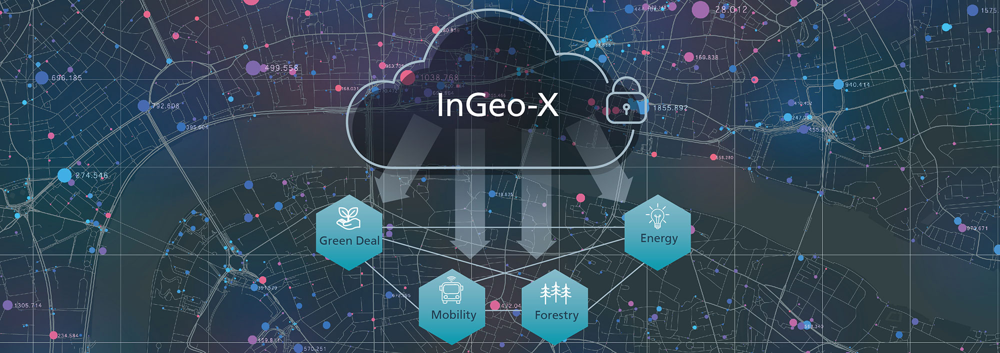
Evolution of the InGeo-X data space
Making Sensitive Geodata More Usable
How can existing sensitive data be made more usable without risk of misuse? The InGeo-X initiative establishes a national data space where geodata can be exchanged under transparent and reliable conditions. This benefits administrations and companies that provide geodata, as well as any stakeholders who use geodata. In the joint project InGeoDTM, Fraunhofer IGD and its partners are developing a model for this geodata space and a data trust.
(Darmstadt) Geodata plays an important role in addressing the challenges facing society. Whether it’s solving environmental problems, optimizing traffic flows, or ensuring the sustainable use of resources: High-quality geographic information is essential. “There is a lot of data available to solve these problems, but keeping track of it and accessing it is a challenging task,” says Dr. Eva Klien, Head of Department Spatial Information Management at the Fraunhofer Institute for Computer Graphics Research IGD. The goal of the InGeoDTM project is to lay the foundation for a neutral platform where providers and potential users can come together. Existing structures and standards of geodata portals and infrastructures will be adopted and extended according to the concepts of the federated and secure data infrastructure for Europe (GAIA-X) currently being developed and the standards of the International Data Spaces Association (IDSA).
The Information and Cooperation Forum for Geodata, InGeoForum e.V., plays a central role in this endeavor. Acting as a neutral data trustee, it will enable data-owning organizations to easily and legally integrate their data into the data space. It will also mediate in legal and organizational matters between the parties involved and monitor quality standards. Data owners such as public administrations and commercial providers, as well as users, benefit equally: “We rely on clear structures that make the availability, license terms and costs of the data transparent,” says Dr. Ralf Borchert, representing InGeoForum.
Exchanging geodata across sectors
The emerging InGeo-X geodata space is designed to enable the exchange of geodata across a wide range of sectors. This is especially important in areas such as smart cities, forestry, healthcare and energy, where high-quality geographic information is critical for efficient planning and decision-making. Predicting traffic flow in urban planning and predicting damage after storms in forestry are just a few examples of how it will be used. “In particular, the linking of previously isolated data silos offers significant potential for innovation,” explains Thorsten Reitz of wetransform GmbH.
Under the leadership of Fraunhofer IGD, the partners Fraunhofer ISST, wetransform GmbH, the German Research Center for Artificial Intelligence (DFKI) and M.O.S.S. Computer Grafik Systeme GmbH are working on the trustee model and the data space infrastructure. The project is funded by the German Federal Ministry of Education and Research (BMBF) and will run from June 2024 to December 2025.
 Fraunhofer Institute for Computer Graphics Research IGD