Interactive Tool for Civic Participation
Participatory Development and Implementation of Mobility Concepts in the Digital Twin
How can we make our mobility more sustainable? Policy measures to date have focused on promoting technological innovation and providing incentives for the purchase of electric vehicles. Citizens’ preferences were often not heard. Though their behavior, however, citizens can make a significant contribution to ensuring that the transition to sustainable transportation is successful. This was the impetus for a research project funded by the German Federal Ministry for Economic Affairs and Climate Action, entitled Participative Energy Transformation: Innovative Digital Tools for the Social Dimension of Energy Transition (PaEGIE). As part of a consortium led by the Technical University of Darmstadt and in close cooperation with the city of Darmstadt, researchers at Fraunhofer IGD developed a visualization tool that involves citizens in the early stages of the planning process and encourages them to participate in sustainable mobility solutions. This helps to ensure that the measures taken are better accepted by the population.
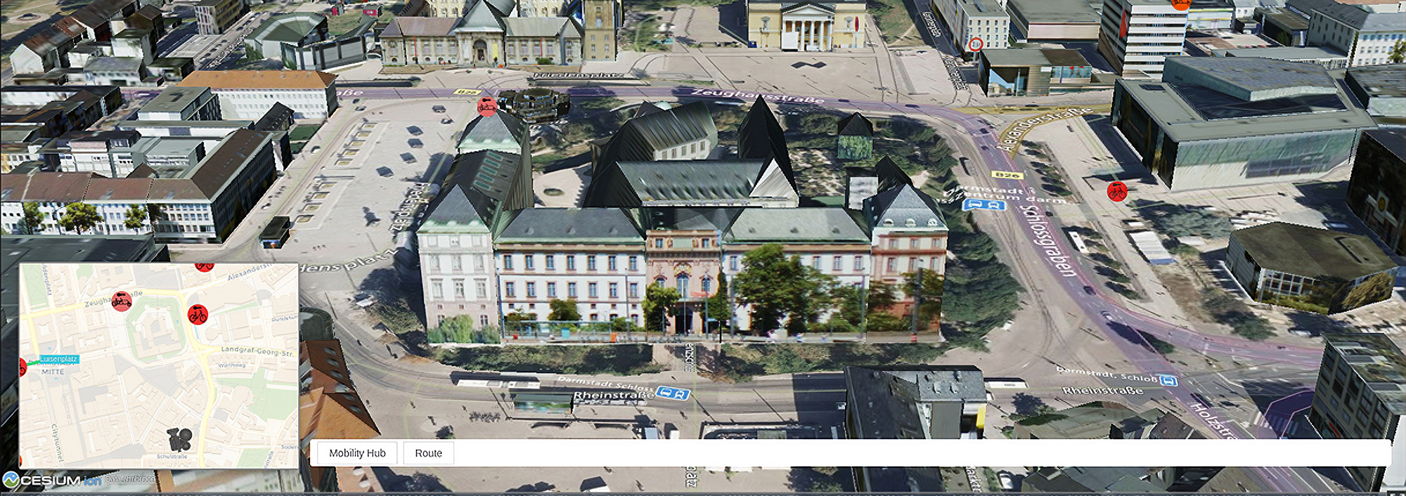
(Darmstadt, Germany) “Traditional transportation infrastructure planning is often ineffective in terms of adequately considering the diversity of social needs and opinions,” explained Dr. Eva Klien, Head of Department Spatial Information Management at the Fraunhofer Institute for Computer Graphics Research IGD. To remedy this, researchers designed a web-based visualization tool that can be used on a PC or an interactive table and enables users to explore their own city in an interactive 2D and 3D environment. The Darmstadt Surveying Office provided city and terrain models as well as other relevant geodata.
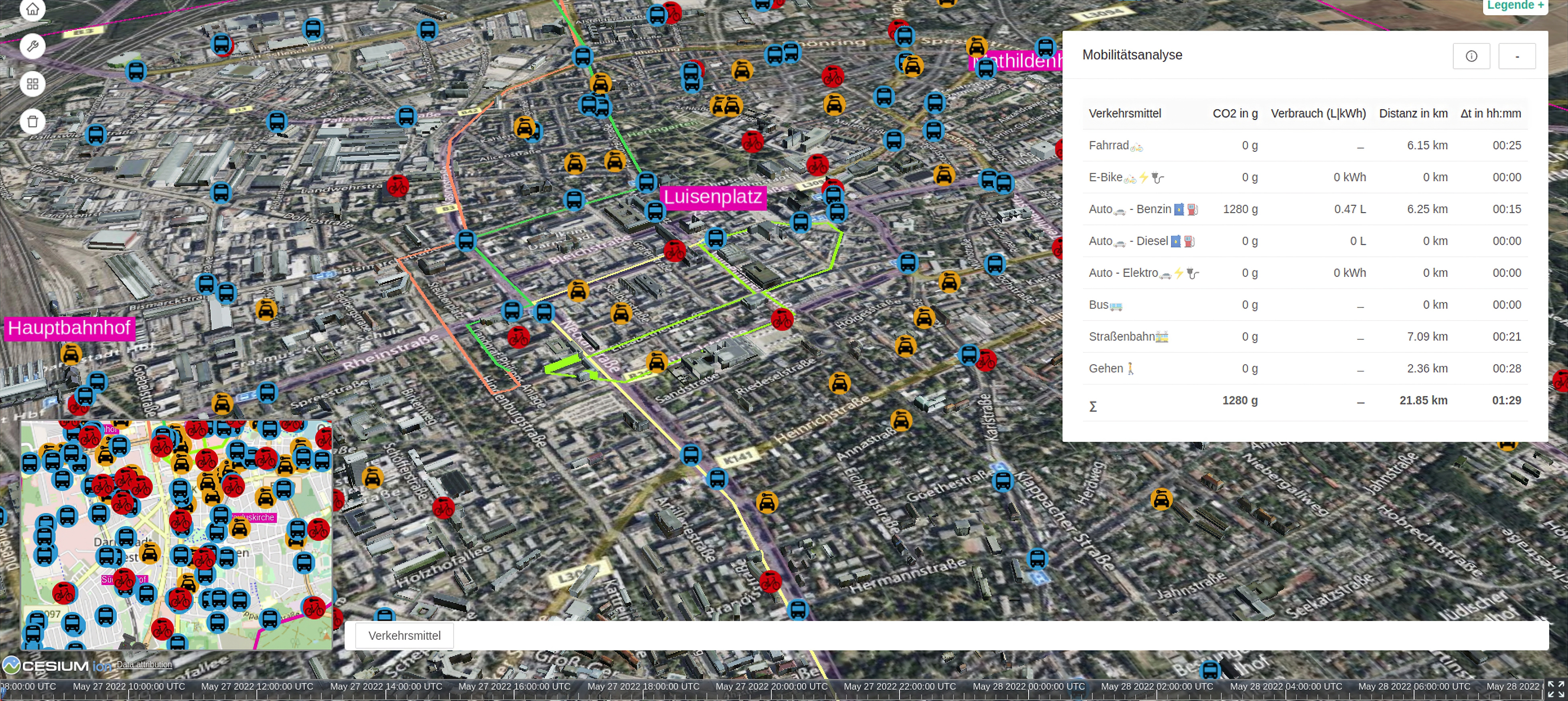
Using individually plotted routes through the city, the program calculates how much CO2 is produced on the way to work, school or the gym, for example, depending on whether the route or parts of the route are covered on foot, by public transport or by car. The application can also be used to visualize existing mobility infrastructure (such as e-charging or rental stations), make suggestions about where this infrastructure could be expanded or located in the city, and facilitate dialogue with other users about these suggestions.

Citizens test tool in workshops
To test the tool and collect feedback, the project partners in Darmstadt conducted a number of citizen workshops. “Our aim was to provide citizens with tools to solve the mobility challenges of tomorrow together,” said Prof. Michèle Knodt, political scientist at TU Darmstadt. An interactive tool, such as the one developed as part of the PaEGIE research project, will make this easier in the future, she added.
This participatory application, combined with a city’s digital twin, can be used in a variety of ways and will now be further developed and brought to product maturity after the end of the PaEGIE project. “By working with cities and municipalities, we hope to promote digital participation among citizens in mobility planning and other areas of planning, thereby contributing to a more sustainable and livable environment in cities,” said Veneta Ivanova, project manager at Fraunhofer IGD. According to Ivanova, the tool is flexible enough to be adapted to a wide variety of scenarios and problems. The concept behind the tool is a low-code-based modular system of data access, data analysis, and data visualization modules. This modular system will make it possible to create simple web applications to meet the specific needs of a municipality without any programming knowledge or technical support.
 Fraunhofer Institute for Computer Graphics Research IGD