 Fraunhofer Institute for Computer Graphics Research IGD
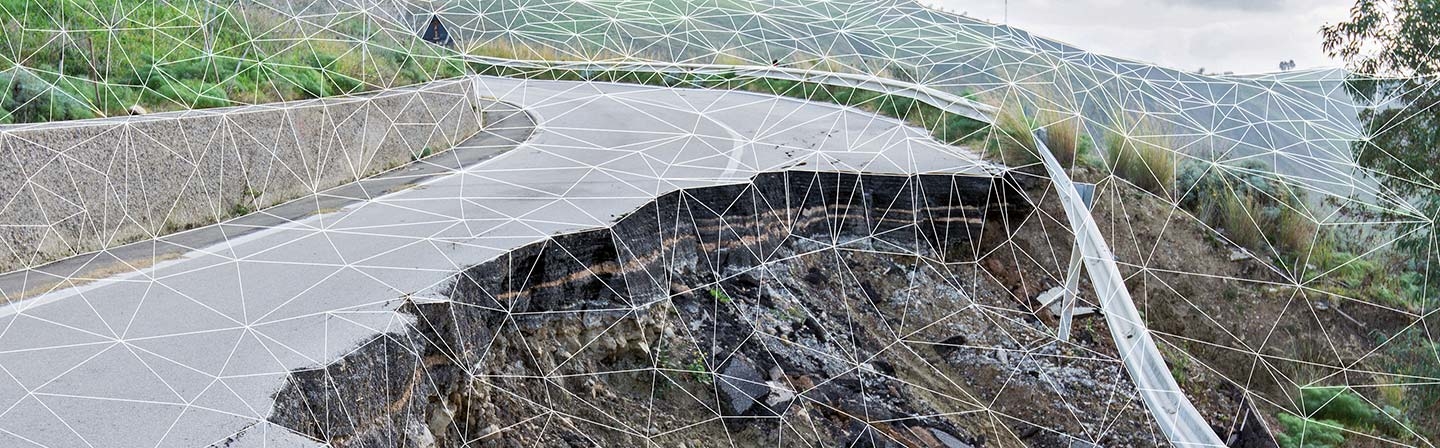
New instruments and increasingly sophisticated sensors are generating vast amounts of geospatial data on a daily basis. Researchers at Fraunhofer IGD present the GeoRocket software application, a cloud-based storage system that can handle the growing amount of geospatial data and thus help predict natural disasters.
As science and technology progress, increasingly precise data is being collected in all areas, including data that provides information on specific locations or geographical areas. This geospatial data is growing in size and complexity and is becoming unmanageable as a result. With GeoRocket, the Fraunhofer Institute for Computer Graphics Research IGD now offers a geospatial data storage system that responds quickly and flexibly to the rising demands.
Highly accurate and complete survey data can only be put to profitable use if it is readily available wherever it is needed. In areas threatened by landslides, for example, such data can be a valuable tool for hazard analysis. In addition to human factors, natural landforms can also be factors in the occurrence of natural disasters. Satellite imagery, soil studies, and computer-generated 3D landscape models are available to perform hydraulic simulations, allowing the calculated water masses and their downhill path to be visualized in the event of anticipated high precipitation levels. The storage requirements for all this information are staggering. The more detailed and true-to-life the terrain relief is, the more realistic the prediction of the landslide’s path will be. The sheer volume of geospatial data and its massive storage requirements require a suitable technical solution.
The GeoRocket geospatial data repository is cloud-based, which means it is extremely fast and can be accessed anywhere. It is a free, open-source program that remains responsive even when dealing with large amounts of data and parallel queries. The microservice architecture dynamically scales the required performance based on changing factors such as the volume of data being transferred or the number of users and running processes. Searches for geospatial data or elements such as attributes, layers, and assigned tags in real time are also extremely fast with targeted data output based on the search query. The best part is that even though the geospatial data is stored in its original formats, GeoRocket will automatically merge the files for the duration of their use. Such a conversion is essential because the file formats of the various geospatial information systems are extremely heterogeneous.