 Fraunhofer Institute for Computer Graphics Research IGD
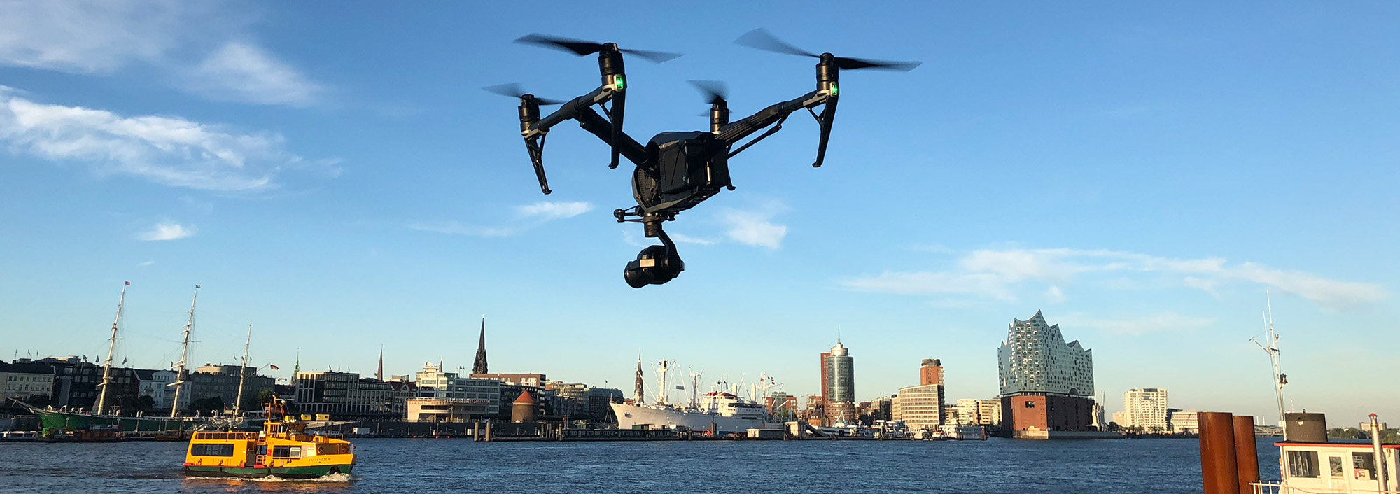
Artificial intelligence used to designate and identify no-fly zones
Research project creates basis for commercial drone flights throughout Germany
The use of drones for commercial as well as private purposes is steadily increasing. To ensure the safe integration of unmanned aerial vehicles (UAVs) into German airspace, it is therefore essential to designate no-fly zones. The aim of the fAIRport research project, brought to a successful completion in late 2023, was to automatically recognize and identify such zones. It received funding of €1,205,000 from the German Federal Ministry for Digital and Transport as part of the mFUND innovation initiative. Experts from the German air navigation service provider (DFS Deutsche Flugsicherung GmbH), wetransform GmbH and Fraunhofer IGD collaborated on the development of a solution that makes extensive use of artificial intelligence. The resulting geodata platform for local authorities, which is based on open standards, is now operated by wetransform, a spin-off of Fraunhofer IGD.
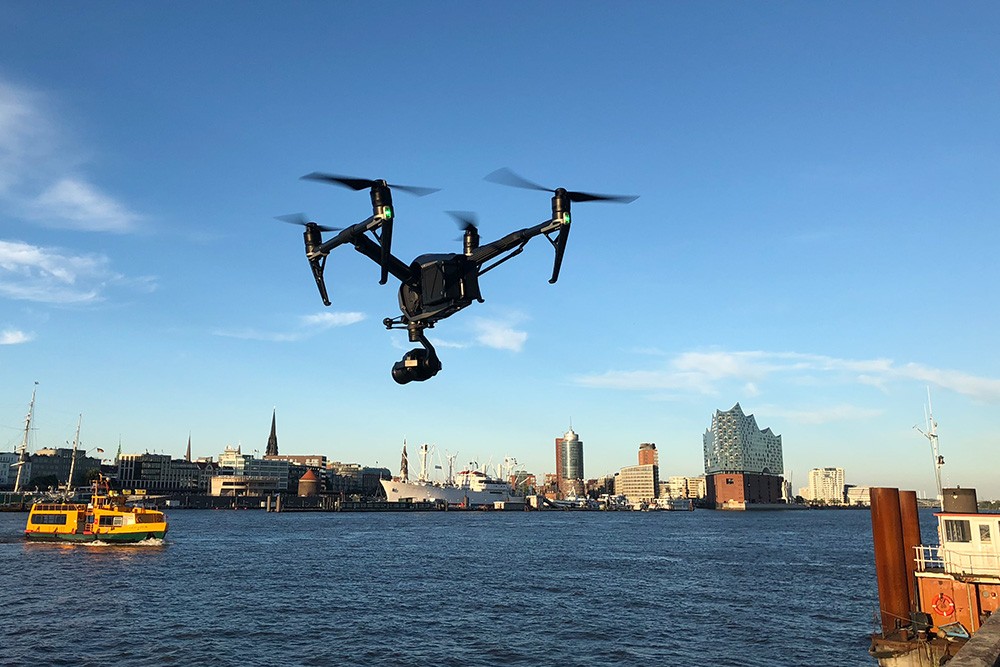
Drones can be used in a wide variety of applications – in monitoring hard-to-reach or dangerous locations, in logistics and in search and rescue missions. Unmanned aerial vehicles (UAVs), as drones are technically known, which are engaged in such activities must, however, be integrated into the already densely populated airspace of Germany. This responsibility falls within the remit of DFS, which designates no-fly zones for drones and makes this information publicly available – no easy task given the wide range of constraints that make no-fly zones for drones necessary.
Artificial neural networks for rapid detection
To automatically identify such no-fly zones, the Fraunhofer Institute for Computer Graphics Research IGD has developed a variety of object-specific artificial neural networks (ANNs). Inspired by the structure and functioning of the human brain, these machine learning methods can reliably identify wind turbines, overhead power line masts or helipads on aerial photographs supplied by the German federal states. Fraunhofer IGD researcher Matthias Vahl: “In this way, we can quickly identify no-fly zones for drones throughout Germany and integrate them into a system. Done manually, this process would take a very long time.” Such work is particularly important because objects such as wind turbines are constantly being added to or removed from the landscape.
As drones mostly fly at low altitudes, their safe operation requires much more precise information about the ground they overfly than is the case for manned air traffic. Hardy Polevka, Head of Geodata Management at DFS: “The better the data situation in an area, the more precisely can no-fly zones be displayed. This also guarantees legal compliance with Section 21 of the German Aviation Regulation. Thanks to the additional information from the fAIRport project, we are significantly enhancing our data for manned and unmanned aviation and thus making decisive progress in the safe and equitable integration of drones into German airspace.”
Geodata platform is the database for drone flights
Municipalities and other authorities are another important source of information on UAV no-fly zones. In the course of the project, a geodata platform was developed and made available for logging and checking this information. Local authorities can use the platform to continuously update flight-relevant geodata and thus provide a database for drone flights. Authorities can also easily add data and information that may lead to temporary no-fly zones, for example when dynamic events such as markets or concerts are due to take place. After the information on no-fly zones has been transferred to the unmanned traffic management system (UTM) of the DFS subsidiary Droniq, UAV pilots can ensure that they only fly in authorised airspace, even when they have no visual contact with their drone.
The technologies developed in fAIRport can be applied to the entire territory of Germany and thus make a decisive contribution to expanding the commercial use of drones in the country.
About the mFUND of BMDV
In the overall framework of the mFUND innovation initiative, the BMDV has been funding data-based research and development projects for the digital and networked mobility of the future since 2016. The project funding is supplemented by active professional networking between stakeholders from the worlds of politics, business, administration and research and by the provision of open data in the Mobilithek platform. Further information can be found at www.mFUND.de.